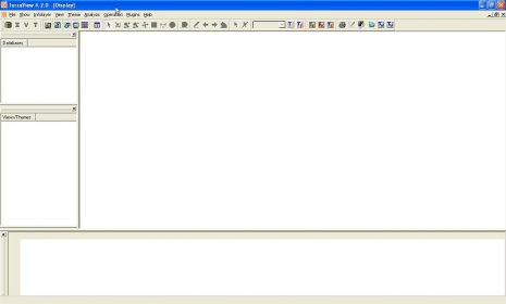
TerraView is a GIS application built using the TerraLib GIS library. TerraView main goal is to make available to the GIS Community an easy geographic data viewer with resources that include database queries and data analysis, exemplifying the use of the TerraLib library.
TerraView handles vector data (polygons, lines and points) and raster data (grids and images), both stored in a relational or geo-relational database, including ACCESS, PostgreSQL, MySQL and Oracle.
With this app you can visualize, edit, analyse data, and compose printable maps


Comments